National Wild and Scenic Rivers of the Unites States have been protected by law since the program’s inception in 1968. There are about 250 designated National Wild and Scenic Rivers, to date. We’ve selected three of these interesting and diverse ecosystems to explore.
Wekiva River, Florida
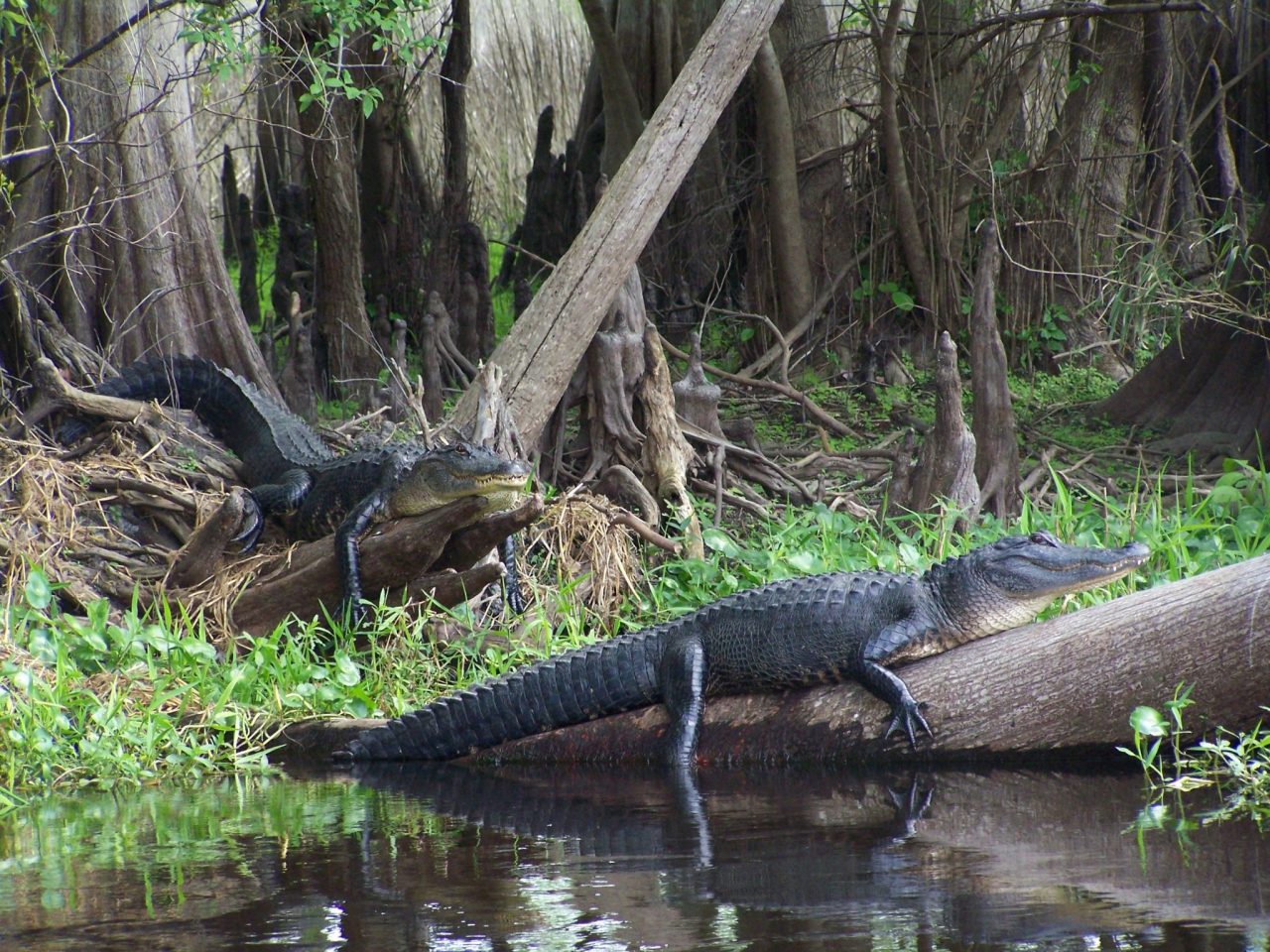
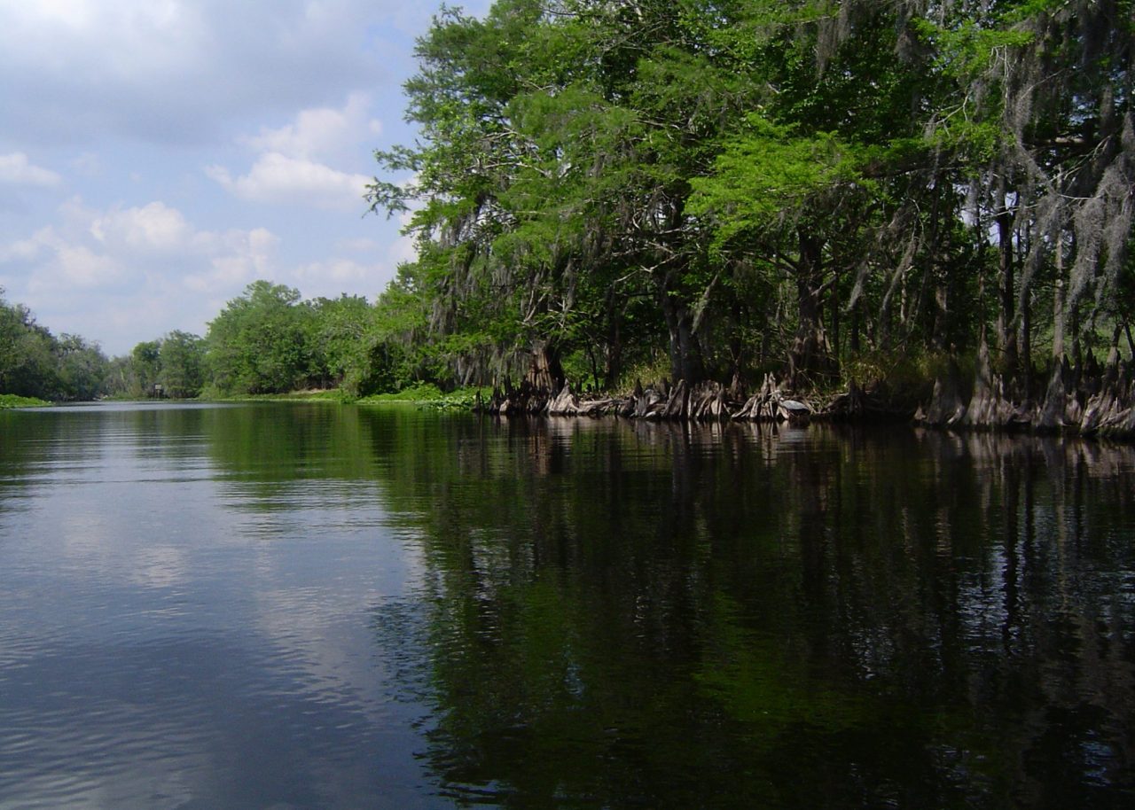
The Wekiva River, in Central Florida north of Orlando, is only sixteen miles long, but filled with beauty. The river begins in Apopka (Apopka is a Seminole word for “Potato Eating Place”). The river flows through natural Florida landscapes as well as suburban Orlando settings. Its reaches include the largest state park in Florida (Wekiwa Springs State Park) as well as some placid settings for boating and fishing. As you might expect, wildlife abounds, from alligators who watch with a faux nonchalance at eye level from fallen limbs as boaters pass by, to water birds such as herons, ibis, egrets, anhingas, and cormorants. The woods are teaming with woodpeckers, Swallow-tailed Kites, deer, otters, foxes, wild turkeys, and black bears.
To best enjoy the Wekiva River and its wonders, visit the crystal clear waters of the Wekiwa Springs swim in the constant 72-degree water, while the springs pump 42 million gallons each day.
Rent a canoe in the Park and go past or as far as: Wekiva Landing, with its rustic outdoor bar and music venue; Buffalo Tram, where you will probably see blue, great blue, and black crowned night herons; Otter Camp; Indian Mound, named for the accumulation of prehistoric shells left behind after multitudinous meals partaken there by the Native Americans; Big Buck; Wekiva Falls; and Katie’s Landing, near the spot where the Wekiva joins the St John’s River. Camping at these locations is primitive and by permit only.
Be sure to visit the Wekiva area shops and restaurants before or after your visit, where you can find any number of places to eat including 168 for Chinese, Café Positano for Italian, and First Watch for breakfast and lunch, all highly recommended. Among the manmade landmarks is the lovely free standing campanile of the Wekiva Presbyterian Church, the first church anywhere to offer live internet worship broadcasts. You will notice that the Spring, the River and the community around it use both the W and the V spelling for Wekiva. The locals will tell you that “Wekiwa” is from the Creek language and means “spring of water” and “Wekiva” signifies “flowing water”. Either way, the words are pronounced to rhyme with “Godiva”.
Allegheny River, Pennsylvania
The Allegheny River in Western Pennsylvania, is one of the two mighty rivers that meet at Pittsburgh to form the Ohio River. In its lower stretches near Pittsburgh, it is a broad and deep river, with charming riverside towns on both banks with quaint names such as Fox Chapel, Aspinwall and Oakmont. Many of Pittsburgh’s famous bridges cross the Allegheny, and the city’s elegant skyscrapers and stadiums are best viewed from the river or its banks. The Allegheny begins as a small spring in a farmer’s field just off State Route 49 near the town of Colesburg.
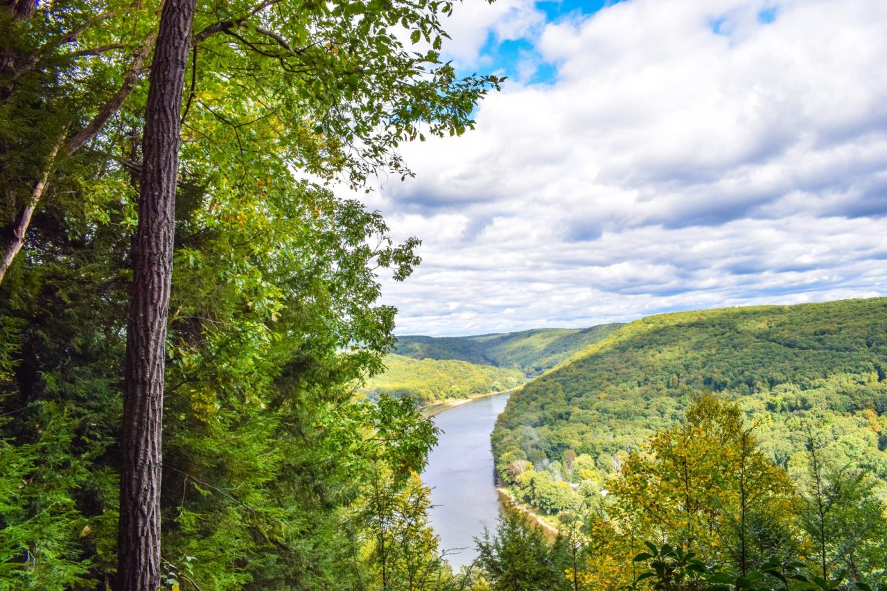
From these headwaters, one can follow a portion of the river between Coudersport, home of the lovely Potter County Courthouse, the Old Railroad Station Museum, as well as the moldering Victorian Knox mansion, to Port Allegheny, where admirers of Frank Lloyd Wright will do a double take as they pass Lynn Hall just west of town, a dead ringer for Fallingwater. This is because the builder was also the contractor for that most famous Wright design. Then on through Smethport, and Kane, through the Allegheny National Forest, to Oil City, home of the McClintock No. 1, the world’s oldest continually producing oil well, begun in 1861, and still pumping, pumping, pumping a tenth of a barrel a day; and Franklin via Route 6.
You will be impressed by the charm of each of these communities, and the remarkable architecture, indicative of the area’s oil boom prosperity years. From Franklin a nice side trip is along the Franklin-Belmar Drive to Ajax, always close to the river’s edge.
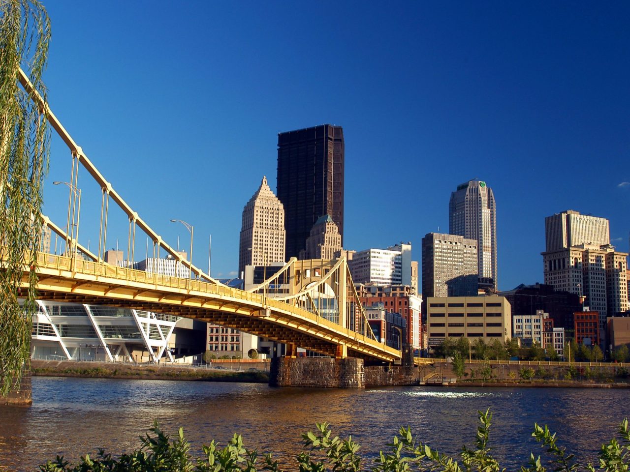
Follow Route 268 through Foxburg, which then veers away from the river to Karns and down to Kittanning. From Kittanning, follow Route 66 to Ford City and then Route 128 to Freeport, a port on the old Pennsylvania Canal. Continue on Freeport Road through Brackenridge; Tarentum; Springdale, where you must have some Glen’s Frozen Custard; Cheswick, home of Chessie the Elephant, and Aspinwall, a 1900-era trolley suburb still popular with Pittsburghers, and then take Route 28 all the way into Pittsburgh. Each of these waters towns tells its own story. A meandering exploration of the Allegheny River will include a visit to each one. It is hard to express just how pretty the Allegheny River Valley is, with the round, tree covered mountains on each side.
Merced River, California
The Merced River flows from the Sierra Nevada into the San Joaquin Valley in central California. It is a tributary of the San Joaquin River. Named by Spanish explorers in 1806, Rio de Nuestra Señora de la Merced (River of Our Lady of Mercy). In 1987, the 145-mile-long river was declared a Wild and Scenic River by Congress. It may be one of the most photographed rivers in the USA, especially as it flows through Yosemite National Park. The headwaters of the Merced are at the foot of the Clark Range, at an elevation of 8,017 feet. To follow the Merced River begin at the always picturesque confluence of the Merced and the San Juaquin Rivers, on Hills Ferry Road, there are great views of the merger of these rivers from the bridge.
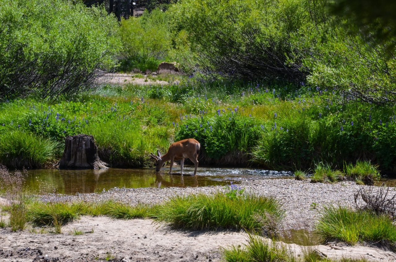
Drive in a generally eastward direction, by way of Kelly Road, stopping briefly to photograph the old bridge at the intersection of River Road. Continue along River Road, which in spite of its name is often some distance from the river, to Lander Avenue (a turn north gives you another nice view of the river right there); the local park is popular for picnics, cooling your heels in the river, and fishing. Next, continue on Vinewood Avenue, this is Del Rio Nut Company country, growers of California Almonds, to Livingston. Take Livingston-Cressey Road to Cressey, then Meadow Drive and Shaffer Road to Oakdale Road and Turlock Road. Then follow CA 59, through orchard, ranch, and farmland. You are often very close to the river but it is mostly screened by the landscape.
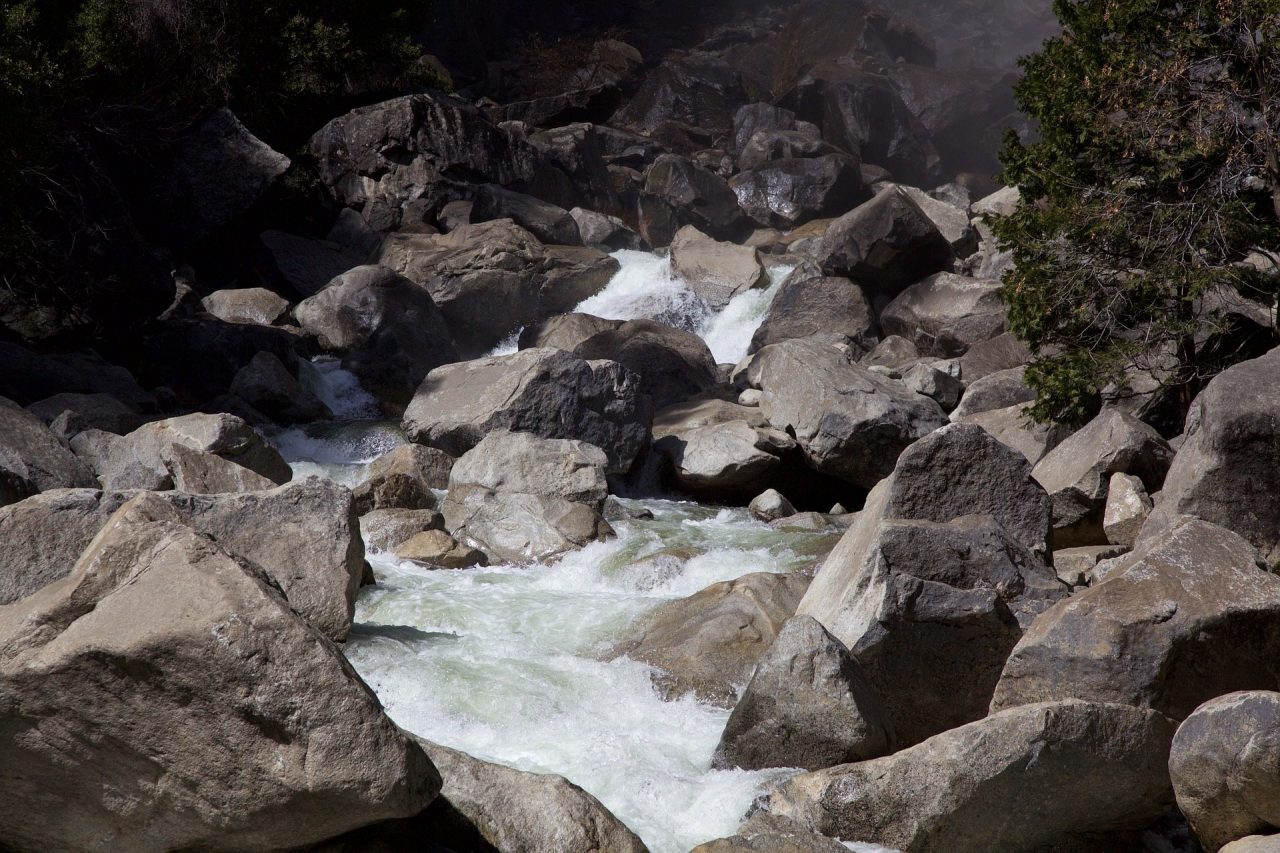
Various waterfowl, including osprey, herons, and egrets are frequently seen along this stretch of the river. You will drive through Snelling, home to an historic Odd Fellows building. Near the town of Snelling is the Merced River Hatchery, a Chinook salmon facility. It is open to the public and offers views of the Merced River and river wildlife. The fish ladder opens around October 1.
Next comes Merced Falls, named for a set of rapids on the Merced River; for more than one hundred years, the historic Crocker Huffman Diversion Dam has been the major river landmark here. Follow Merced Falls Road, with access to Barrett Cove Recreation Area, as it goes due north until it meets Granite Springs at CA 132.
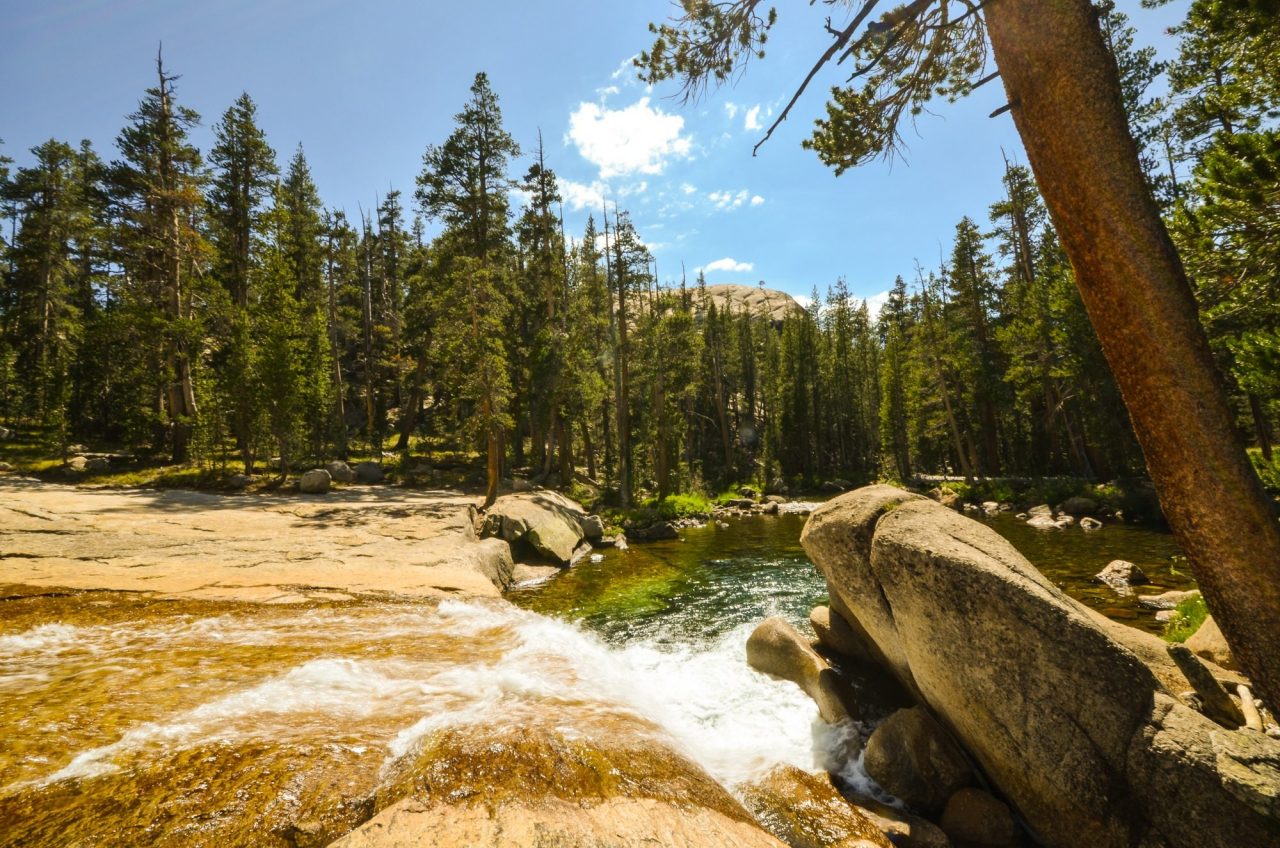
Take CA 49, also known as the Golden Chain Highway, at Coulterville, a gorgeously ascending drive, with many tight turns and beautiful views, through Bagby, a Mother Lode hamlet now mostly underwater or gone. Next comes the “don’t blink or you will miss it” hamlet of Bear Valley, once the fiefdom of Captain John Frémont. His large mansion, dubbed “The White House” in honor of his presidential bid, burned down in 1866, and his hotel, the “Oso House”, also burned, in 1937. All that remains at the center of Bear Valley are two ramshackle buildings, the Trabucco Building, built in 1862, and the Oso Museum next door.
Next is Mount Bullion, which is considered to be a California ghost town, but please do not mention that to any of the lively patrons of the Airport Bar and Grill. Order the avocado burger and onion rings if you stop there for a meal; the setting is authentically inviting.
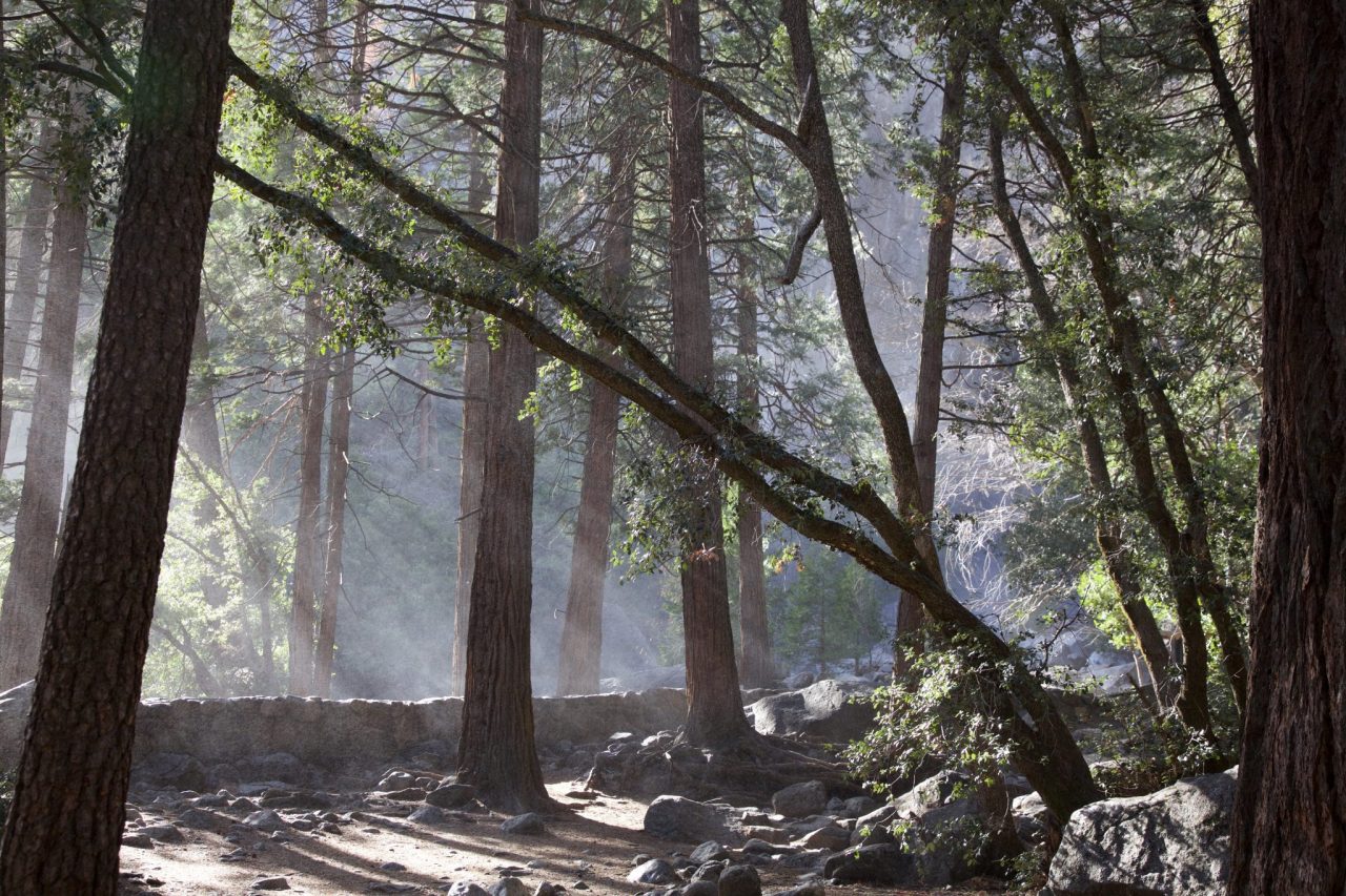
Then, on to Mariposa, home to the California State Mining and Mineral Museum and Mariposa Museum and History Center, a lovely historic museum. Have a meal at Sugar Pine Café, 1850, Charles Street Dinner House, or Savoury’s. The old mining center town has charming streets to stroll, even if they are not paved with gold. From Mariposa, take CA 140 Central Yosemite Highway, El Portal Road, into the valley of the Yosemite and the incomparable splendors of Yosemite National Park. Almost every familiar photograph taken in Yosemite, whether by Ansel Adams or the ordinary tourist, has the Merced River in the foreground, reflecting the glories of the Park.
Be sure to create your own, as you conclude your Merced River drive.

